Dora Riparia
A 125-km river that descends from Montgenèvre along the Susa Valley and joins the Po in Turin; for centuries it powered the city's mills, canals and factories.
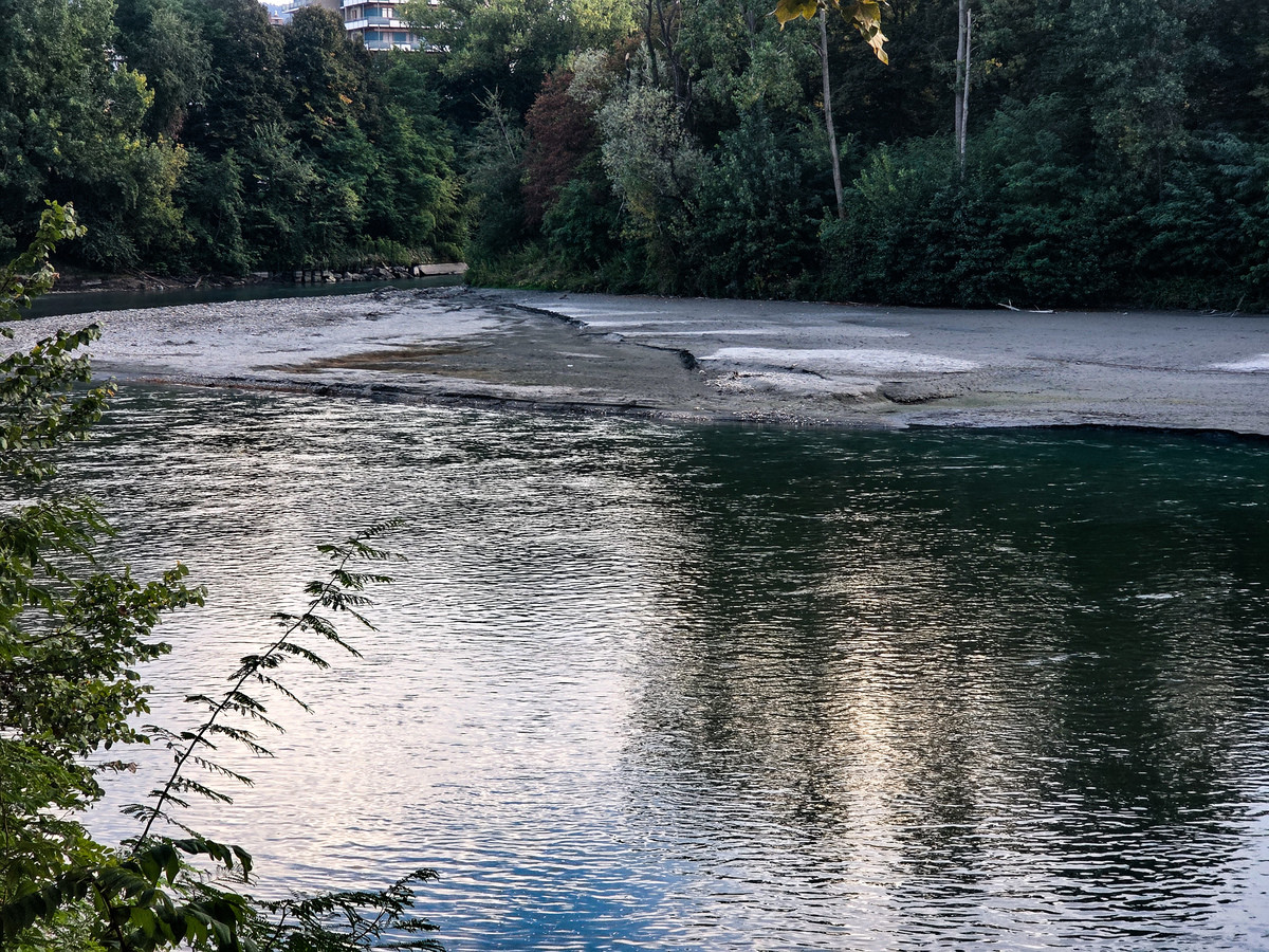
The Dora Riparia is the river of western Piedmont that descends from Montgenèvre, runs the length of the Susa Valley and flows into the Po at Turin. About 125 kilometres long, with a 1,231 km² basin, it is a left-bank tributary of the Po[1][2] and, after the Po, Turin's second river by size[3]. For centuries its waters, diverted into canals, turned mills, supplied the city with water and powered the first factories of Turin's northern districts[3].
The name and course
The ancients called it Duria minor, to distinguish it from the Duria maior, the Dora Baltea[1][3]. It rises on French territory near the Montgenèvre pass under the name Piccola Dora, not far from the source of the Durance, and takes the name Dora Riparia after receiving, from the right, near Cesana, the Ripa stream, from which its name derives[1][2]. At Oulx it takes in from the left the Dora di Bardonecchia, its largest tributary, then threads through the Exilles narrows and, on reaching the Susa basin, takes in the Cenischia and turns east, a direction it keeps until it joins the Po[1].
The lower valley, broad and industrial, has as its main centres Susa, Condove and Avigliana[4]. Beyond the Chiuse di Susa narrows, the river crosses the Rivoli moraine amphitheatre and enters the Turin plain[1], where it skirts Collegno: here the Dora shaped the land as the glaciers retreated and today forms a continuous ecological corridor toward the city[5]. Its regime is torrential: lacking large glaciers upstream, its flow is modest even in the upper course, only 21 cubic metres per second at Sant'Antonino di Susa according to the measurement reported by the Enciclopedia Italiana in 1932[1].
«[…] where numerous canals drain off ever more of its water, so that it reaches Turin and the Po with a very limited flow.»
From the Roman city to the canals
Even the Roman colony of Augusta Taurinorum depended on the Dora. According to archaeological reconstructions, the water for the urban network was probably drawn from the river upstream of the city, and for the colony's baths it has been suggested that the complex extended northward with a series of terraces facing the Dora[6].
From the Middle Ages the river's course was organised with intakes and canals to irrigate the countryside and bring water into the city. Near the Martinetto the Dora split into several artificial branches: the best known, the «Dora Grossa», ran along what is now via Garibaldi as far as the moat beneath Palazzo Madama[3]. Until the eighteenth century, Borgo Dora, near today's Porta Palazzo, San Donato and Lucento, was the heart of the city's manufacturing, with mills and water wheels serving weavers and blacksmiths[3].
The river was also a military line. During the siege of Turin in 1706 the besiegers threw military bridges across the Dora, and the decisive battle of 7 September was fought on the plain between the Dora and the Stura; in the rout, many fleeing Franco-Spanish troops drowned in the river[7].
The Ponte Mosca
Until the nineteenth century, travellers arriving from the road to Milan crossed the Dora on a wooden bridge or at the Borgo Dora ford. Napoleon decreed a stone bridge in 1807, which remained on paper; after the Restoration the boldest design was chosen, that of the engineer Carlo Bernardo Mosca, trained at the École Polytechnique and the École des Ponts et Chaussées. Built between 1823 and 1830 on the line of today's corso Giulio Cesare, with a single span, at its inauguration the bridge «drew admiration for the elegance and lightness of its structure»[8].
Floods
Being a torrential river, the Dora is prone to sudden floods. In the autumn of 1839, the year of the Po's greatest recorded flood in Turin, a note at nine in the morning on 16 October recorded that «the Dora Riparia was flowing, more or less, 65 cm below the springing of the great bridge's arch»[9]. In June 1957, during the worst flood ever recorded in Piedmont, the heaviest damage was concentrated along the Dora Riparia valleys, and at Susa the collapse of a house caused one death[10].
Power and industry
Its closeness to industrial centres made the Dora one of the first Piedmontese rivers harnessed to generate electricity: the first plant, from 1878, served the metalworking works at Bussoleno. In 1932 the basin had 25 power plants: the most powerful, at Rochemolles and Melezet, belonged to the state railways, and other major plants stood at Venaus, Chiomonte, Susa and Turin[1]. In the second half of the nineteenth century the industrial revolution transformed Turin, and the factories that rose along the river soon found themselves surrounded by residential neighbourhoods[3]. In the twentieth century the area now called Spina 3 was occupied by the large plants of FIAT, including its steelworks, and of Michelin, active until the 1990s[11].
The allegories of via Roma
In 1936, as part of the redesign of the second stretch of via Roma drawn up by Marcello Piacentini, the sculptor Umberto Baglioni, winner of a competition among 56 submitted designs, created the two allegorical fountains of the Po and the Dora, now in piazza CLN behind the twin churches of piazza San Carlo. The statues are in Seravezza marble: the Po is a bearded man, the Dora a reclining woman[12].
Parco Dora and the present
Where the ironworks and the Michelin plant once stood, Parco Dora has risen, a post-industrial park of about 358,000 square metres in the Spina 3 area, born from a 2004 competition and partly completed in spring 2011. It is divided into the Vitali, Ingest, Valdocco, Michelin and Mortara lots, which keep the names of the former plants and retain their remains: the Michelin cooling tower, the stripping structure, the steelworks' power plant[11]. The design, the result of an international competition and signed by a team that included the firm Latz+Partner, redeveloped the riverbanks and opened up a stretch of the south bank, as part of the «Torino Città d'Acque» programme that links the cycle paths running along the river[11][13].
Work on the riverbanks also continues further downstream. From 29 September 2026 the entrance hall of Palazzo Ravera, on corso Giulio Cesare, is hosting the proposals from an ideas competition for students of the Politecnico di Torino, devoted to the stretch between the Carpanini bridge and the via Bologna bridge, with attention to the south bank and the spaces of the former Torino-Ceres railway station[14].
Pages linking here
- Assedio di Torino del 1706
- Augusta Taurinorum
- Avigliana
- Basilica di Maria Ausiliatrice
- Castello di Agliè
- Claviere
- Collegno
- Fall from the Via Mazzini Bridge in Susa on 4 October 2026
- Lavazza
- Luigi Einaudi
- Parco della Pellerina
- San Donato (Turin)
- Sestriere
- Susa
- Taurini
- Torino
- Università degli Studi di Torino
- Val di Susa
Related articles: Assedio di Torino del 1706, Augusta Taurinorum, Collegno
Sources
- Treccani – Enciclopedia Italiana —
- Sapere.it (De Agostini)
- Mole24 — 24 November 2020
- Treccani
- Mole24 — 27 November 2025
- Mole24 — 7 September 2026
- Mole24 — 7 September 2013
- MuseoTorino
- Mole24 — 17 October 2016
- Mole24 — 16 June 2018
- MuseoTorino
- Mole24 — 13 January 2012
- MuseoTorino
- Torino Oggi — 25 September 2026